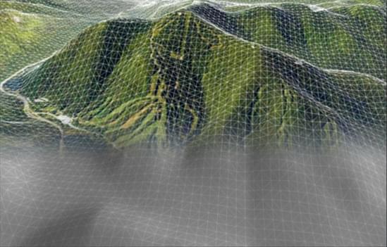
Easily Combine Multiple Data Layers for Optimal 3D Results
TerraBuilder supports a wide-range of layer types and automatically reprojects layers that use different coordinate systems. TerraBuilder provides a range of editing tools with which to manipulate the imported raster files, enabling maximum precision in the 3D terrain database result.
Possible manipulations include cropping, resizing, moving, feathering, adjustment of geographic coordinates using tie points and modification of color and elevation parameters.

Quickly Share Published Files
TerraBuilder 7.0 is seamlessly integrated with SkylineGlobe Server (SGS), Skyline’s private cloud solution that provides a comprehensive set of web services for streaming, publishing, and managing 3D spatial data. TerraBuilder clients can upload and publish the completed TBP project or MPT file to the cloud server from TerraBuilder, thereby streamlining your workflow by eliminating the need for any server side login after initial installation.
TerraBuilder clients can also access terrain (MPT/TBP) and map (raster-WMS/WMTS) data from SkylineGlobe Server for their TerraBuilder projects.